Via New England Cable News aka NECN, ‘The University of Vermont partnering to conduct national research for drone use in emergencies’
The University of Vermont and its partners are using a federal grant to help develop educational programs that’ll be deployed nationwide, aiming to break down barriers between first responders and complex technologies that could help them in their emergency work.
“We can send a drone up, use thermal imaging at night, and find a subject that’s lost in the woods,” said Adam Mitchell, a firefighter / EMT in the Greenfield, Massachusetts Fire Department, offering one example of how uncrewed aircraft systems, often known as UAS or simply as drones, can help in emergency situations.
Mitchell was one of 15 first responders or emergency managers visiting the University of Vermont this week to learn how to better use UAS technology in their work.
Imagine there’s been a tornado, flash flood, or ice storm. First responders not only could use eyes in the sky to scan for possible victims but also, local government officials could collect visual data to figure out if the situation is bad enough to qualify for disaster funds for rebuilding.
“We’re there to help you recover from a natural disaster,” noted Hannah Thach, a research director for the Alliance for System Safety of UAS through Research Excellence or ASSURE.
ASSURE is working to provide the FAA with the information it needs to safely and effectively integrate UAS into the nation’s airspace systems, Thach told NECN & NBC10 Boston in an interview Thursday.
“You want to have the infrastructure there to support you when you’re at your lowest point,” Thach said, explaining that the integration of drones into more and more emergency response work will require a public understanding of the value of the equipment. “That’s really what it’s all about: having the right people trained to be in the right place at your lowest point.”
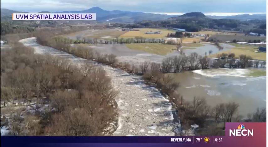
The Spatial Analysis Laboratory, housed in UVM’s Rubenstein School of Environment and Natural Resources, is now partnering with universities in Mississippi and Kansas on a project for the federal government to develop educational programs that’ll be deployed by FEMA nationwide. The aim is to guide first responders on how to best use tools they may at first find overwhelming.
As part of a workshop this week at UVM, where educators and researchers were working to develop the coursework for FEMA, instructors shower first responders and emergency management officials how to stitch drone images together to make digital maps, and how to then share those large files.
“When it comes to emergency response — major disasters — you need to make decisions quickly,” said Jarlath O’Neil-Dunne, the director of the UVM Spatial Analysis Lab. “And if we can avoid putting people in situations that are dangerous, dirty, and difficult, because we have better information from a drone — let’s do that, particularly for our first responders, whose lives are at stake.”
Adam Mitchell said he is glad to know the programming now being developed in Vermont will help his peers nationwide. Already, he said he is thinking of ways to apply his new UAS skills — perhaps for crash reconstruction work.
“We’ll be able to help other departments,” Mitchell told NECN & NBC10 Boston. “Whoever needs us. It’s going to make us more well-versed, I’d say.”
UVM leaders praised the work of Sen. Patrick Leahy, D-Vermont, in helping secure federal funding the Spatial Analysis Lab and its partners in Mississippi and Kansas are sharing as they develop the course materials for FEMA.